Help Delivery Drivers, Help Cities
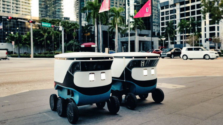
The urban curb is busier than ever.
Recent increases in food delivery, e-commerce, and ride-hailing have changed the way we use the space where the road meets the sidewalk. But few cities have done anything about the resulting chaos.
In many cases, curb design has been unchanged for decades. Municipalities still cater to one kind of parking customer: the passenger car seeking a few hours of use. Commercial loading zones remain too few and far between to meet today's demand.
It's time to reimagine the curb.
What if cities could adapt depending on the time and day? For example, a neighborhood might need five-minute zones at lunch and dinner when food-delivery peaks; pick-up and drop-off lanes at night, when more people use Uber and Lyft; or more space for delivery vehicles during the holidays.
Thus far, cities have been slow, or even unable, to adjust the management of their curbs because they lack data. Most cities don't have the real-time information they would need to implement such a system.
But the field of computer vision — a subset of artificial intelligence that enables computers to collect, process, and use information from digital images — is quickly changing that. Cities must embrace this technology.
In cities like New York, Los Angeles, and San Francisco, ordinary drivers spend, on average, more than three full days a year looking for parking. For the country's more than 1.3 million delivery drivers, the situation is worse. A driver may circle the block looking for a spot before giving up and double parking.
If they do find a legal spot, they may have to fish out cash or a credit card to pay a meter. My company, Automotus, surveyed 120 delivery drivers from cities around the country and found that 58% deal with this particular nuisance. Feeding meters take up to two minutes a pop, which may not sound like much, but adds up over dozens of deliveries a day. Old-fashioned meters charge 15-minute minimums, even if the driver is only stopping for five.
Then there are the tickets. Facing pressure to park illegally to save time, delivery drivers rack up fines, which may or may not be covered by the companies they're driving for. San Francisco imposes a $1,000 fine for blocking traffic without a permit, and multiple cities charge $100 or more for violations. Philadelphia and Washington, D.C., are introducing fines for delivery and drop-off vehicles that block traffic. New York City's city council is considering cash payments to civilians who report vehicles parked in bike lanes.
Ultimately all that circling, double parking, and idling isn't just inefficient for the driver, but a real burden on cities. A single double-parked car blocks buses and bicycles and can divert other drivers into oncoming traffic. Circling adds to congestion and increases carbon dioxide emissions.
Computer vision can help.
It begins with cameras that monitor arrivals and departures from parking spaces and loading zones. This information feeds into a real-time database, which lets cities better understand how the curb is being used, and with that knowledge, craft better policies and align curb use with demand for parking.
The cameras can also enable automated payment by capturing images of license plates so that drivers or their companies are automatically charged. These systems require no effort from busy drivers beyond a simple, one-time registration. This reduces the risk of fines -- and also allows cities to charge by the minute, so that drivers only pay for time used.
This technology is evolving to help cities adapt. In Pittsburgh, my company is implementing Smart Loading Zones that have increased parking efficiency and reduced double parking. This maximizes curbside parking for delivery drivers to get in and out quickly and makes our roads safer. Meanwhile, Los Angeles and Santa Monica are using computer vision and data sharing to pilot zero-emission delivery zones, which offer priority curb access to no-carbon vehicles.
On a national level, the non-profit Open Mobility Foundation has developed the Curb Data Specification (CDS), an open-source software code that allows easy data sharing between cities, curb users, and data providers. Cities from Los Angeles, Seattle, Philadelphia, Boston, and more are exploring common standards through CDS to support better curb management.
We have the solutions to bring our streets into the 21st century and it's time for cities to take advantage. These systems don't just ensure that our meals arrive warm. They also save drivers time and money and make our streets safer for everyone.
Ganesh Vanama is a Computer Vision Engineer at Automotus.


