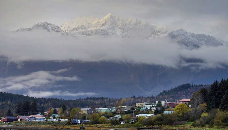
Melting glaciers in Alaska cause massive landslide; Scientists developing new technique to detect killer slides

In a massive landslide this week, a 4,000-foot-high mountainside collapsed in Glacier Bay National Park. It spread debris for miles across the glacier below. The collapse comes as a powerful reminder of the instable mountains in this part of Alaska. The glacier ends at the Johns Hopkins inlet, a popular stop for cruise ships, just 10 miles away.
According to the data provided by Alaska Earthquake Centre, the landslide caused seismic tremors with a magnitude of 2.9, which is about as strong as a small earthquake. The slide could have originated 6,500 feet high at a peak on the west side of the glacier. Although it is unclear how much of the rock gave way, the Lamont-Doherty Earth Observatory believes that the slide had more than 165 million tons of material.
The giant landslide was first noticed by sightseeing pilot Paul Swanstrom on June 28. A part of the mountain near Lamplugh Glacier gave way. It was around 100 miles northwest of Juneau. Swanstrom took photos several hours after the slide. A dark mass spread over the glacier.
“We have events like this maybe three to five times per year around the world, and Southeast Alaska is the global hotspot,” Geomorphologist Colin Stark, whose team at Columbia University's Lamont-Doherty Earth Observatory discovered both the Glacier Bay and Taan Fiord landslides in seismic recordings, said in a Columbia University blog.
Scientists have stated that such slides will continue to occur as increasing temperatures cause more glacial melt. Glaciers support the mountainsides that surround them. However, when the ice disappears, slopes lose the support while erosion and earthquakes cause them to collapse.
A mountainside just next to Tyndall Glacier came crashing down in October 2015 aftre heavy rains. The debris entered an arm of Icy bay and caused a tsunami.
Stark and seismologist Göran Ekström have been developing a technique for the past seven years that may detect huge landslides by picking out their signature in the stream of seismic data created by earthquakes and other activity around the world. The technique may help governments sound tsunami warnings, warn of risks such as landslide-dammed rivers that may burst through and help rescuers find landslide-struck villages faster.


