Typhoon Haiyan (Yolanda) Hits the Philippines; Winds Strengthen to 245 MPH, Equivalent to Category 5 Hurricane (VIDEOS OF YOLANDA’S WRATH)
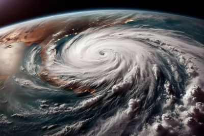
Super typhoon Haiyan (local name: Yolanda) hit the Philippines on Friday morning, carrying stronger winds of 235 mph, up from previous reports of 195 mph sustained winds and gusts of 235 mph.
YouTube/GMA Kapuso TV Shows
Meterologist Eric Holthaus described the monster typhoon as the worst storm he has even seen. He said Yolanda beats the storm Wilma, the strongest storm ever in the Atlantic, in 2005 in intensity by 5 mph, making it one of Worst Storms Ever in the Planet, one of the three other storms since 1969 to reach this intensity.
YouTube/cbcompsolutions
Based on its strength, Yolanda's equivalent is a Category 5 hurricane.
Jeff Masters, founder of Weather Underground in Ann Arbor, Michigan, said, quoted by The Sydney Morning Herald, "If it maintains its strength, there has never been a storm this strong making landfall anywhere in the world ... This is off the charts."
Ahead of the storm, thousands of residents in the Visayas region were evacuated to safer grounds, while many local governments in Metro Manila suspended schools and offices.
The Philippine weather bureau placed 20 areas under public storm warning signal number 4. These are: Masbate, Ticao Island, Southern Sorsogon, Romblon, Northern Samar, Eastern Samar, Samar, Leyte, Southern Leyte, Biliran province, Northern Cebu, Cebu City, Bantayan and Camotes Islands, Northern Negros Occidental, Capiz, Aklan, Antique, Iloilo and Guimaras.
Storm signal number 3 is raised in 14 areas and number 2 in 15 areas, including Metro Manila.
Tweets provided updates on the situation in different parts of the Philippines such as non-stop heavy downpour in different provinces, power cut-off in Mandaue, Cebu and Masbate and the growing number of evacuees in evacuation centres in the Visayas region.
Here is a raw footage of Yolanda's wrath.
YouTube/TheFabian Star


