Understanding the El Niño Phenomenon as Australia Braces for July Event

Australia's weather bureau has issued an alert for a "strong" El Niño in July. Climate researchers have been seeing the start of what is described as the "most powerful El Niño" event since 1997 and 1998. What happens in an El Niño?
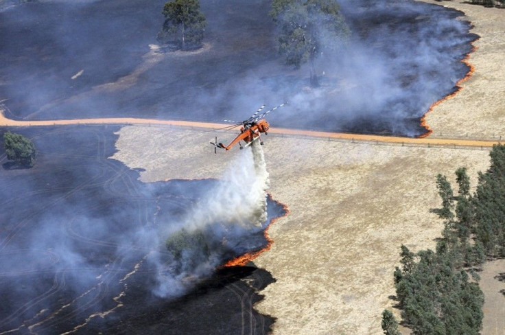
An El Niño is a phenomenon in the atmosphere and Pacific Ocean. Extreme weather events in Australia like droughts and bushfires are caused by changes in temperature in the Indian Ocean, according to a study published in Nature Geoscience.
The Indian Ocean Dipole (IOD) has significant consequences like the El Niño phenomenon in the Pacific Ocean. The temperature changes in the Indian Ocean will more likely to intensify due to the climate change effects.
The Indian Ocean phenomenon is a result of the interaction between the ocean and the atmosphere. The IOD usually develops in the Southern Hemisphere during winter and becomes ready in spring. Ocean temperatures off the coast of Java and Sumatra were lower than usual, while temperatures near the equator became warmer. The changes in temperature have significant effects in the atmosphere.
The IOD can cause extreme weather in various parts of the world, including great floods in East African nations and severe droughts in Indonesia. The study linked the same phenomenon with the bushfires in Australia.
The southeast part of Australia will experience a low amount of rainfall and high temperatures during a positive IOD event. Most of the rainfall in southeast Australia during the winter and spring come from the tropical eastern part of the Indian Ocean.
Research has shown that an El Niño event can increase the global average temperature to 0.1 to 0.2 degrees Celsius. According to Live Science, this is one of the reasons why many climate scientists are concerned about the possibility of another strong El Niño.
Aside from a significant warming of the ocean, an El Niño is triggered when a number of strong wind blasts from west to east off the Papua New Guinea. In 2014, scientists have already observed three powerful wind blasts with the most recent caused by the development of Category 5 Cyclone Ita which led to severe flooding in Solomon Islands.
Weather forecasters can get a better estimate of an El Niño's strength by following two key indicators. The first sign is the difference in temperature between the water in eastern and western Pacific. If there is a small temperature difference, the stronger the El Niño event will be.
Another key indicator is volume of water across the equatorial Pacific Ocean. If the volume is great, the more likely the event will get stronger too.


