Cyclone Ita Update: Evacuations Underway, Could Further Strengthen to Category 5

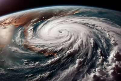
Evacuations have now started in far north Queensland after weather forecasters warned tropical Cyclone Ita has the potential to strengthen further to Category 5 system.
As of 10am on Thursday, Cyclone Ita's wind gusts have reached 220km/hr. And it has yet to hit land. Ita is still over the Coral Sea as a category three, yet it's already beating down the north Queensland coast at 14km/hr.
The Joint Typhoon Warning Center (JTWC) said Ita is generating 25-foot/7.6 -metre high waves in the Coral Sea.
"It is expected to still make impact as a high category four system so it's getting up to the very top of the possible strengths," Peter Otto, Bureau of Meteorology forecaster, told ABC radio.
"It is, in fact, possible to even make impact as a category five."
Read: Cyclone Ita Update: Locals Advised to Prepare for the Worst, Ita Stronger, Could be Worse Than Yasi
Cyclone Ita is expected to make landfall between Lockhart River and Cape Flattery late on Friday.
Its current gale force winds of 100km/hr might stretch to 300km inland, Pradeep Singh, Weather Bureau forecaster, said, noting massive flooding to predicted affected areas.
"It's fairly intense, it'll take a while to lose the vortex,'' he said. "Because there will be no dry air or wind shear getting into the system, we expect it to hang around for a while.''
The AAP reported a watch has been declared for areas up to 200km inland, including Kalinga, Laura, Palmerville and Chillagoe. Fifty mine workers have already abandoned the Cape Flattery Silica Mine, north of Cooktown. Guests at Lizard Island resort have likewise been evacuated.
Read: Cyclone Ita Update: Could Develop into Category 4 Tropical Cyclone by Friday Morning
Wayne Coutts, regional director of Queensland's State Emergency Service, urged residents north of Cairns to move out of their homes as soon as possible and seek shelter somewhere further inland or on higher ground.
He also listed down the following precautions:
- Turn off all electricity, gas and water and unplug all appliances;
- Bring the family to the strongest part of the house and ensure emergency kit is close by;
- If the building you're sheltering in begins to break up, immediately seek shelter under a strong table or bench or under a heavy mattress;
- Stay inside until you have received official advice that the cyclone has passed
"Some people are not aware of the calm eye of the cyclone and mistakenly venture outside thinking the threat has passed.''
Energy Minister Mark McArdle advised people to prepare to face power outages for a month or longer.
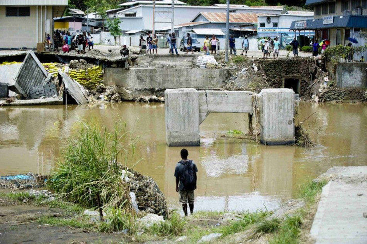
Read: North Queensland Advised to Brace for Tropical Cyclone Ita, Left 19 Dead, Massive Floods in Solomon Islands (PHOTOS)


