Cyclone Ita Update: Locals Advised to Prepare for the Worst, Ita Stronger, Could be Worse Than Yasi

Locals in far north Queensland from Port Douglas to Cape Grenville are being advised to prepare for the worst as tropical Cyclone Ita continues to pack in strength and could be far worse than Yasi of 2011.
Leaving on its trail $3.5 billion in damage and losing tourism earnings, Cyclone Yasi in 2011 was a category five storm with wind gusts of 285 km/h. It was one of the most powerful cyclones in Queensland's recorded history and damaged major centres such as Innisfail and Townsville.
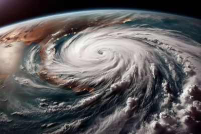
As of on Wednesday, Cyclone Ita was located to the south of Papua New Guinea, 930km east of Lockhart River and 830km east northeast of Cooktown.
Currently a category 3, weather forecasters said Cyclone Ita will reach category 4 system before it reaches the Lockhart River and Cape Flattery.
Read: Cyclone Update: Ita Could Develop into Category 4 Tropical Cyclone by Friday Morning
Bill O'Connor, duty forecaster, said areas forecast to be affected in the immediate vicinity may well expect rainfall of around 300mm. Coastal areas along the Cassowary Coast and Cairns may receive between 100-200mm.
"In the immediate Cairns area we will see it get a little bit windy, probably 20-25 knots, but the stronger winds will be closer to the centre of the system," Mr O'Connor said.
Wayne Coutts, Emergency Management Queensland northern region director, instructed residents to monitor and pay attention to updates and warnings, noting a cyclone with a category 4 system strength could bring a storm surge four metres high.
Max Gonzalez, Weatherzone meteorologist said Cyclone Ita will likely bring structural damage.
"We're talking about gusts of about 225 to 279 km/h," Mr Gonzalez said. "That would result in significant structural damage and could also cause widespread power failures. The main thing will be the airborne debris which will become projectiles."
Read: North Queensland Advised to Brace for Tropical Cyclone Ita, Left 19 Dead, Massive Floods in Solomon Islands (PHOTOS)
Jack Dempsey, Queensland Police and Emergency Services Minister, said on Wednesday road and electricity resources had been sent to the state's north.
"At this stage, from the information we have, it looks to be a category four impacting mainly into isolated areas in far north Queensland above the Port Douglas area," he told reporters in Brisbane.


