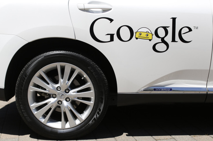
Google turns Street View cars into sniffing vehicles for air pollution

The Google Street View cars would now be also used to measure and analyse urban air quality aside from tracking local neighbourhood. The environmental monitoring company Aclima has announced a partnership with Google to deploy vehicles to set a standard in environmental awareness by equipping a mobile-sensing platform to record the air pollution around different cities.
The Street View vehicles, after collecting photos of the roads, will now use sensors developed by Aclima, a San Francisco-based company that designs and deploys environmental sensor networks, to measure nitrogen dioxide, black carbon, ozone and particulate matter, which can affect human health or climate change, with the help of Google Earth Outreach.
“We have a profound opportunity to understand how cities live and breathe in an entirely new way by integrating Aclima’s mobile sensing platform with Google Maps and Street View cars,” Aclima co-founder and CEO Davida Herzl said in a report on July 28.
The partnership aims to use Street View and Google Maps as an environmental mapping platform as the companies consider the air quality in the environment an issue that affects everyone in the city, Google Earth Outreach Program Manager Karin Tuxen-Bettman stated. Tuxen-Bettman said Google hopes the information will enable more people to be aware of how cities live and breathe, and “join the dialog on how to make improvements to air quality."
In August 2014, the two companies have conducted an initial test where three Street View cars were developed to analyse Denver City in Colorado during the DISCOVER-AQ study by NASA and the US Environmental Protection Agency in a month-long system test. The cars drove for 750 hours, and gathered 150 million data points and sensed pollutants. After the test, a detailed profile of Denver’s pollution has been made, and Aclima stated next tests will focus on San Francisco Bay Area.
“The Denver pilot was a scientifically driven process to validate the use of Aclima’s system for mobile environmental sensing with Google Street View vehicles and proved that mobile sensing at the street level is possible,” Aclima Research Director Melissa Lunden said. Lunden added that Aclima asked a team of nationally recognised air and climate scientists to review the methodology.
“There’s unlimited potential for our work to help improve the health and resilience of communities everywhere,” as more than half of the world’s population is living in cities and the new mapping system can provide high resolution maps of air quality in cities, Herzl said.
Google and Aclima already created a network that connects 21 Google offices around the world to map indoor environment. The offices were equipped with sensors and a system that processes 500,000,000 data points used to evaluate indoor environmental quality and factors, including measures of temperature, humidity, noise, light and air pollutants every day. Google aims the system, if provided on other companies, may help make better decisions on workplace design to support employee wellbeing, productivity and creativity.
Prior to the announcement, Google was already working with the Environmental Defense Fund, or EDF, since 2014 to start tracking methane pollution from underground pipelines.
Contact the writer at feedback@ibtimes.com.au


