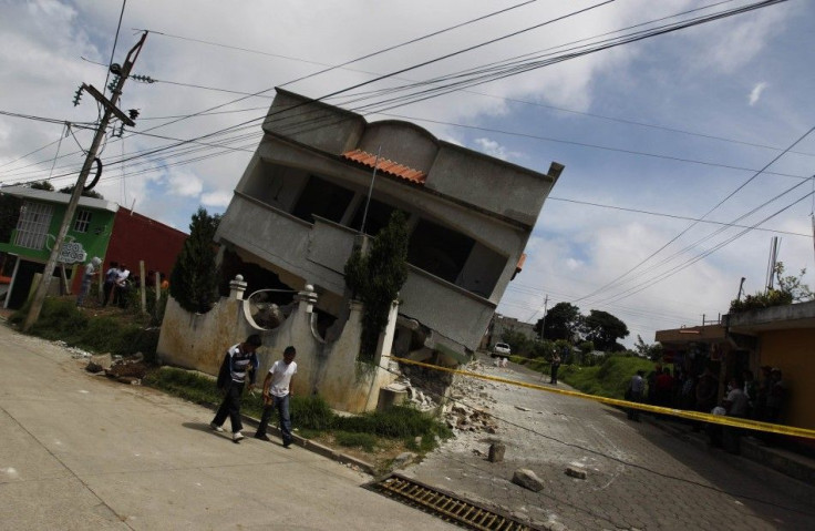
Strong 6.0 MS Earthquake Felt in Canada at Yukon-Alaska Border

Canada experienced an earthquake on Thursday, July 17.
The quake was felt in Yukon during the early hours in the morning around 5 o'clock. Certain parts of the area were affected by the tremor which was felt along the Alaska-Yukon border.
According to Natural Resources Canada, the earthquake details are as follows. The magnitude is 6.0 ML. It occurred at 04:49:33 PDT (local time), which means it was around 10 pm in New South Wales, Australia on the same day. The approximate location of the area where it was felt was South-Western Yukon and South-Eastern Alaska. It was felt in Whitehorse and its surrounding areas. The origin of the tremor was at 60.32 North (Latitude) and 140.35 West (Longitude).
The largest earthquake in the region happened long back in 1899. It was September 10 when 8.6 MS earthquake rattled the area. Then again on September 4 there was 8.2 MS earthquake in the same year. There was an 8.4 MS earthquake on March 28, 1964. In a more recent past on August 7, 1992; there was a 6.6 MS tremor.
According to some residents in the locality, the earthquake woke them up from sleep. They felt that their house was shaking and the lamps were swinging. However, not every one of them noticed any damage in the property. The residents said that the locality is earthquake prone as it generally happens once or twice in one calendar year. The U.S. Geological Survey, meanwhile, said that there were several smaller tremors felt after the first one.
Yokon has a population of 33,897 as calculated in 2011. The triangle-shaped federal territory is the smallest one among three such territories in Canada. It has Alaska to its west, British Columbia to its south and the Northwest Territories to its east.
So far, there is no casualty reported due to the earthquake. An earthquake that has a magnitude between 6.0-6.9 is considered as strong. There are generally 100 to 150 such tremors every year.
Contact the writer: s.mukhopadhyay@ibtimes.com.au


